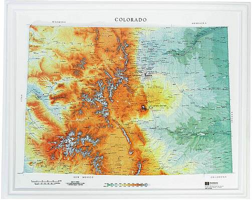
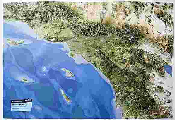
Tennessee Raised Relief Map (Raven colors)
Tennessee Raised Relief Map: Discover the grandeur of Tennessee with this meticulously crafted Raised Relief Map. Measuring 37” x 19” and produced from durable molded plastic, this map offers a detailed and tactile exploration of the state’s diverse landscapes. With a scale of 1:750,000 (1” = 12 miles), it provides an accurate depiction of Tennessee’s geography, including its tallest peaks, majestic mountain ranges, and significant rivers and lakes. Perfect for educators, outdoor enthusiasts, or anyone with a passion for Tennessee’s natural beauty, this map is both a functional and decorative piece.
Tennessee Raised Relief Map Peaks & Ranges: Tennessee is renowned for its stunning mountainous terrain, and this map captures the essence of its prominent peaks and ranges. The Great Smoky Mountains, which straddle the border between North Carolina and Tennessee, are prominently featured, showcasing the highest point in the state, Clingmans Dome, standing at 6,643 feet. The map also highlights the rugged terrain of the Cumberland Plateau and the rolling hills of the Blue Ridge Mountains, offering a comprehensive view of Tennessee’s varied elevations.
Tennessee Raised Relief Map Geographic Features: Beyond its impressive peaks, the Raised Relief Map showcases Tennessee’s diverse geographic features. The map labels significant rivers, including the Tennessee River, which meanders through the state, and the Mississippi River, which forms Tennessee’s western border. Major lakes such as Kentucky Lake and Norris Lake are also depicted, along with key towns and cities. The topography of the map includes detailed representations of valleys, ridges, and other natural landmarks, providing a vivid and interactive experience of Tennessee’s landscape.
Tennessee Raised Relief Map Scale & Design: The map’s scale of 1:750,000 (1” = 12 miles) ensures that every detail of Tennessee’s geography is captured with precision. Crafted from high-quality molded plastic, the map is both durable and lightweight, making it easy to mount or display. Rivers, lakes, mountains, and towns are clearly labeled, enhancing both its educational value and visual appeal. The raised relief design allows for an engaging tactile experience, making this map an excellent addition to any home or classroom.
** Raised Relief Maps are printed on vinyl and are not intended to roll and/or fold. We ship them in a flat box and pack them with love (i.e. Plenty of bubble wrap!) **
Price each
| Photo | Description | SKU | Units | Price | Qty | |
|---|---|---|---|---|---|---|
|
|
Tennessee Raised Relief Map - 37" x 19" | AEPTN962 |
$76.95
|
|
Add to cart
|
|
| You Might Also Like: | ||||||
| Photo | Description | SKU | Units | Price | Qty | |
|
|
Tennessee State Wall Map l Raven Maps 21" x 65"|Paper |
RAVTennessee |
$50.00
|
|
Add to cart
|
|
/1004/images/1201548.jpg)
|
Great Smoky Mountains Raised Relief Map Great Smoky Mountains Raised Relief Map - 18.5" x 12.5" |
AEP403 |
$44.95
|
|
Add to cart
|
|
|
|
North Carolina Raised Relief Map (Raven colors) North Carolina Raised Relief Map - 39" x 19" |
AEPNC956 |
$76.95
|
|
Out of stock
|
|
/1004/images/1185198.jpg)
|
Antique Map of Tennessee 1866 - Geologic 36" x 25" |
KROLCTN1866 |
$34.95
|
|
Add to cart
|
|
/1004/images/1185025.jpg)
|
Antique Map of Nashville, TN 1897 36" x 24" |
KROLCNAS1897 |
$42.95
|
|
Add to cart
|
|
/1004/images/1201548.jpg)
/1004/images/1201456.jpg)
/1004/images/1185025.jpg)
/1004/site-assets/logo.png)
/1004/site-assets/phone.png)
/1004/site-assets/cart.png)
/1004/images/1201464.jpg)
/1004/images/1201464.jpg)
/1004/images/1201462.jpg)
/1004/images/1201463.jpg)
/1004/images/1192613.jpg)


/1004/site-assets/dateseal.jpg)
/1004/site-assets/creditcards.png)