/1004/site-assets/phone.png)
/1004/site-assets/cart.png)
What is a Raised Relief Map?
Those Bumpy Maps: What exactly is a Raised Relief Map?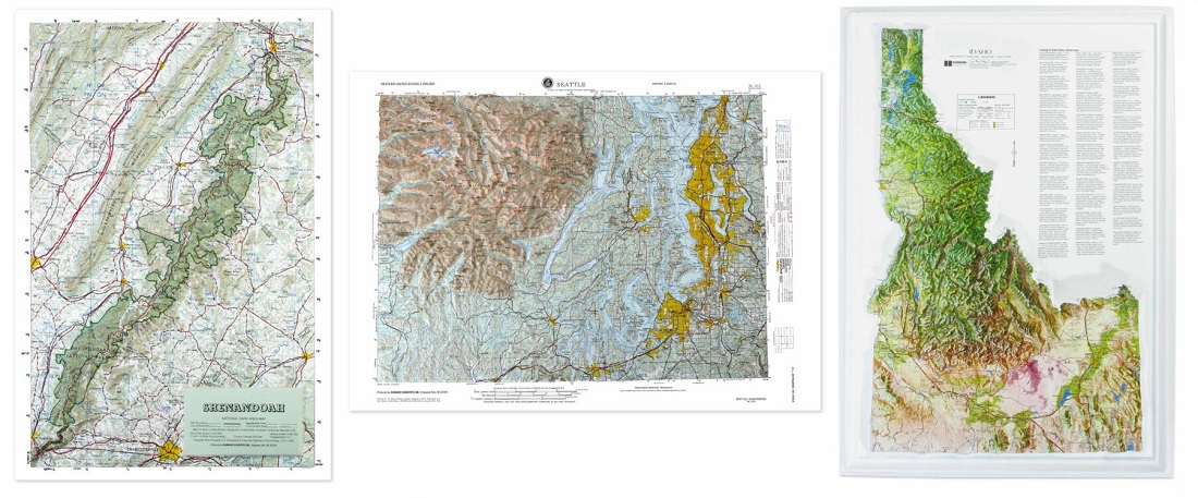
What is a Raised Relief map?
A raised relief map is a specialized map designed to provide a tactile and visual representation of geographical features. Unlike flat, two-dimensional maps, raised relief maps are three-dimensional, with elevations and depressions that mimic the landscape's topography. Mountains rise from the map's surface, valleys dip down, and the variations in the landscape are physically palpable. The map's surface is usually molded from plastic, vinyl, or paper-mâché to create this 3D effect.
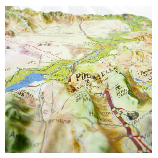
The primary purpose of a raised relief map is to offer a more intuitive understanding of a geographical area. While contour lines and color gradations on a standard physical map can indicate differences in elevation, they sometimes require a trained eye to interpret accurately. On the other hand, Raised relief maps make understanding the terrain immediately intuitive. The three-dimensional aspect allows users to grasp the physical geography of an area quickly, making these maps particularly useful for educational purposes.
In academic settings, these maps are often used to aid in studying geography, geology, and environmental science. Teachers can use them to help students visualize how geographical features influence weather patterns, water flow, human settlement, and historical events. For example, it's one thing to read that a mountain range acted as a natural barrier during a historical military campaign; it's another to physically see and touch that mountain range on a raised relief map.
However, the utility of raised relief maps extends beyond the classroom. Hikers, mountaineers, and outdoor enthusiasts often use these maps to understand better the terrain they'll encounter. Urban planners and architects may also use raised relief maps to understand how natural features could impact construction and infrastructure development.
In museums and visitor centers, large-scale raised relief maps are displayed to provide visitors with an overview of a park's geography or highlight a historical site's key features. These maps offer a quick, easily understandable way to grasp the lay of the land.
In summary, raised relief maps serve as an invaluable tool for various users, offering an immediate and intuitive way to understand the geographical features of a particular area. Their tactile and visual elements offer insights that are sometimes harder to grasp with traditional, two-dimensional maps.
/1004/site-assets/dateseal.jpg "Serving Seattle since 1950")
/1004/site-assets/creditcards.png)