/1004/site-assets/phone.png)
/1004/site-assets/cart.png)
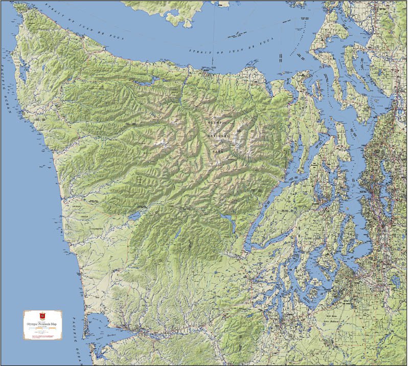
/1004/images/1201456.jpg "North Carolina Raised Relief Map 3D")
/1004/images/1201453.jpg "North Carolina Raised Relief Map 3D - Detail")
/1004/images/1201455.jpg "North Carolina Raised Relief Map - Detail")
North Carolina Raised Relief Map (Raven colors)
North Carolina Raised Relief Map: Explore the diverse landscapes of the Tar Heel State with this North Carolina Raised Relief Map, a stunning representation of the state's unique topography. Made from durable molded plastic, this 3D map captures the state's varied terrain, from the towering peaks of the Appalachian Mountains to the rolling Piedmont and the flat expanses of the coastal plains. With every river, lake, mountain, and town meticulously labeled, this map serves as both an educational tool and a beautiful piece of decor.
North Carolina Raised Relief Map Peaks & Ranges: North Carolina is home to some of the highest peaks east of the Mississippi, and this raised relief map showcases them in striking detail. You’ll find the towering Mount Mitchell, the tallest peak in the Eastern United States at 6,684 feet, as well as neighboring giants like Clingmans Dome and Grandfather Mountain. The map also vividly depicts the Blue Ridge Mountains and the Great Smoky Mountains, two of the most scenic ranges in the country. Traverse the rugged terrain of the Black Mountains, where deep valleys and steep ridges define the landscape.
North Carolina Raised Relief Map Geographic Features: Beyond the peaks, this map highlights North Carolina’s diverse geography, from the winding rivers that snake through the state to the expansive lakes that punctuate its landscape. Discover the New River, one of the oldest rivers in the world, and the Roanoke River with its rich history and vibrant ecosystem. The map also brings attention to the sprawling Outer Banks, a series of barrier islands along the Atlantic coast, famous for their beautiful beaches and historic lighthouses. The gentle slopes of the Piedmont region contrast with the dramatic rise of the mountains to the west and the flat coastal plains to the east, creating a captivating geographical tapestry.
North Carolina Raised Relief Map Scale & Design: This raised relief map is scaled at 1:909,090, or 1 inch to approximately 14.5 miles, offering a detailed yet expansive view of North Carolina. Measuring 39” x 19”, it is large enough to appreciate the intricate contours of the state’s terrain. Crafted from molded plastic, the map combines durability with a realistic portrayal of elevation changes, making it an ideal addition for classrooms, offices, or home decor.
Price each
| Photo | Description | SKU | Units | Price | Qty | |
|---|---|---|---|---|---|---|
/1004/images/1201456.jpg "North Carolina Raised Relief Map 3D")
|
North Carolina Raised Relief Map - 39" x 19" | AEPNC956 |
$76.95
|
|
Add to cart
|
|
| You Might Also Like: | ||||||
| Photo | Description | SKU | Units | Price | Qty | |
/1004/images/1192537.jpg "Outer Banks Nautical Watercolor Art Wall Map")
|
Outer Banks Art Print & Poster Outer Banks Art Print - 18.5" x 23.5"|Paper |
MAIOBNC |
$25.95
|
|
Add to cart
|
|
|
|
Outer Banks Art Print & Poster Outer Banks Art Print - 18.5" x 23.5"|Plak Mounted |
MAIOBNCCP |
$175.00
|
|
Add to cart
|
|
|
|
North Carolina Raised Relief Map (Raven colors) North Carolina Raised Relief Map - 39" x 19" |
AEPNC956 |
$76.95
|
|
Add to cart
|
|
/1004/images/1201464.jpg "Tennessee Raised Relief Map 3D")
|
Tennessee Raised Relief Map (Raven colors) Tennessee Raised Relief Map - 37" x 19" |
AEPTN962 |
$76.95
|
|
Add to cart
|
|
/1004/images/1201548.jpg "Great Smoky Mountains National Park Raised Relief Map 3D")
|
Great Smoky Mountains Raised Relief Map Great Smoky Mountains Raised Relief Map - 18.5" x 12.5" |
AEP403 |
$44.95
|
|
Add to cart
|
|
/1004/site-assets/dateseal.jpg "Serving Seattle since 1950")
/1004/site-assets/creditcards.png)