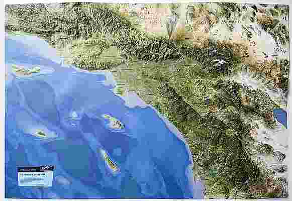
Colorado Raised Relief Map (Raven colors)
Colorado Raised Relief Map: Experience the breathtaking elevation and diverse landscape of Colorado with this stunning Raised Relief Map. This detailed map brings the Centennial State’s topography to life, featuring an alternate color scheme reminiscent of Raven Maps. Crafted from durable molded plastic, this map showcases Colorado’s majestic peaks, expansive mountain ranges, and intricate waterways, making it an essential piece for enthusiasts of geography, travel, and adventure.
Colorado Raised Relief Map Peaks & Ranges: Colorado is renowned for its towering mountains, and this map highlights them all in remarkable detail. See the state's highest peak, Mount Elbert, rising to 14,440 feet, along with the famed Maroon Bells, Longs Peak, and Pikes Peak, each a prominent "Fourteener." The map vividly displays the Rocky Mountains' grandeur, including the Front Range, Sawatch Range, and the San Juan Mountains. Each peak is carefully molded to reflect its true elevation, giving you a tangible sense of Colorado's rugged beauty.
Colorado Raised Relief Map Geographic Features: Beyond the peaks, Colorado’s diverse geographic features are beautifully represented. Trace the winding path of the Arkansas and Colorado Rivers, explore the depths of the Black Canyon of the Gunnison, and locate iconic destinations like the Great Sand Dunes, Garden of the Gods, and the vast plains of Eastern Colorado. The alternate color scheme adds an artistic touch, highlighting the state’s varied terrain from lush forests to arid deserts. Lakes such as Grand Lake and the reservoirs of the Front Range are clearly labeled, offering a comprehensive view of Colorado’s natural wonders.
Colorado Raised Relief Map Scale & Design: This Raised Relief Map is designed with a scale of 1:1,000,000, where 1 inch represents 16 miles, allowing for an expansive yet detailed view of the entire state. The molded plastic construction ensures durability, while the carefully chosen colors provide a visually appealing contrast that enhances the map’s readability. Rivers, lakes, mountains, and towns are all clearly labeled, making this map not only a striking display piece but also an informative resource for anyone looking to explore Colorado’s diverse landscapes. Whether you’re a resident, visitor, or geography enthusiast, this map offers a unique way to connect with the state’s extraordinary terrain.
** Raised Relief Maps are printed on vinyl and are not intended to roll and/or fold. We ship them in a flat box and pack them with love (i.e. Plenty of bubble wrap!) **
Price each
| Photo | Description | SKU | Units | Price | Qty | |
|---|---|---|---|---|---|---|
/1004/images/1201391.jpg)
|
Colorado Raised Relief Map (Raven colors) - 29" x 24" | AEPCO950 |
$86.95
|
|
Add to cart
|
|
| You Might Also Like: | ||||||
| Photo | Description | SKU | Units | Price | Qty | |
/1004/images/1201387.jpg)
|
Colorado Raised Relief Map Colorado Raised Relief Map - 22" x 17" |
AEPCO2217 |
$76.95
|
|
Add to cart
|
|
/1004/images/1188988.jpg)
|
Colorado Wall Map by National Geographic 41" x 31"|Laminated |
NGSCOL |
$35.00
|
|
Add to cart
|
|
/1004/images/1180614.jpg)
|
Colorado Recreational Atlas by Benchmark 11" x 16" |
NGSBENCOAT |
$26.95
|
|
Add to cart
|
|
/1004/images/1192621.jpg)
|
Colorado Wall Map l Raven Maps 43" x 54"|Laminated |
RAVCo-01 |
$75.00
|
|
Add to cart
|
|
/1004/images/1201391.jpg)
/1004/site-assets/logo.png)
/1004/site-assets/phone.png)
/1004/site-assets/cart.png)
/1004/images/1201391.jpg)
/1004/images/1201389.jpg)
/1004/images/1201390.jpg)


/1004/site-assets/dateseal.jpg)
/1004/site-assets/creditcards.png)