/1004/site-assets/phone.png)
/1004/site-assets/cart.png)
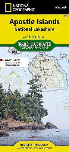
/1004/images/1185875.jpg "Wenatchee Hiking Topo Recreation Map Green Trails 211S")
Wenatchee Hiking Map
SKU: GRE211S-
$14.00
Topographic hiking map of Wenatchee that shows trails, roads, cross country ski routes, campsites, many natural features and contour lines. Mission Ridge and Devils Gulch are show at a more detailed scale of 1:24,000.
Waterproof and lightweight!
Coverage also includes Mission Ridge, Devils Gulch, Table Mountain, Colockum Wildlife Area, Mount Lillian and more.
18" x 24"
1:69,500 / 1:24,000
80 / 40 foot contour interval
Price each
| Photo | Description | SKU | Units | Price | Qty | |
|---|---|---|---|---|---|---|
/1004/images/1185875.jpg "Wenatchee Hiking Topo Recreation Map Green Trails 211S")
|
18" x 24"|1:69,500/1:24,000 | GRE211S- |
$14.00
|
|
Add to cart
|
|
| You Might Also Like: | ||||||
| Photo | Description | SKU | Units | Price | Qty | |
/1004/images/1190554.jpg "Central Cascades Wa National Forest Map")
|
Central Washington Cascades Recreation Map (Wenatchee NF) 47" x 45"|1:126,720 |
NFWACWC |
$19.95
|
|
Out of stock
|
|
Price
$14.00
Quantity
Price
$19.95
Quantity
You Previously Viewed:


/1004/site-assets/dateseal.jpg "Serving Seattle since 1950")
/1004/site-assets/creditcards.png)