/1004/site-assets/phone.png)
/1004/site-assets/cart.png)
/1004/images/1188882.jpg "Salmon Challis National Forest Map Topographic")
Salmon National Forest - Salmon/Challis Region - ID
SKU: NFIDS
$19.95
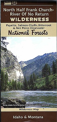
The Salmon National Forest of the Salmon - Challis region covers a vast area of land northest of the town of Challis and over to the western border of Montana.
- Waterproof Map
- 1/2" to the Mile
- Topographic Lines
Price each
| Photo | Description | SKU | Units | Price | Qty | |
|---|---|---|---|---|---|---|
/1004/images/1188882.jpg "Salmon Challis National Forest Map Topographic")
|
1: 126,720 | NFIDS-0 |
$19.95
|
|
Add to cart
|
|
| You Might Also Like: | ||||||
| Photo | Description | SKU | Units | Price | Qty | |
/1004/images/1180610.jpg "Idaho Road Atlas by Benchmark")
|
Idaho Recreational Atlas by Benchmark 11" x 16" |
NGSBENIDAT |
$26.95
|
|
Add to cart
|
|
/1004/images/1181084.jpg "Idaho DeLorme Atlas and Gazetteer")
|
Idaho Atlas & Gazetteer by DeLorme 11" x 15 1/2" |
DELID |
$29.95
|
|
Add to cart
|
|
Price
$19.95
Quantity
Price
$26.95
Quantity
Price
$29.95
Quantity
You Previously Viewed:
/1004/site-assets/dateseal.jpg "Serving Seattle since 1950")
/1004/site-assets/creditcards.png)