/1004/images/1108729.jpg)
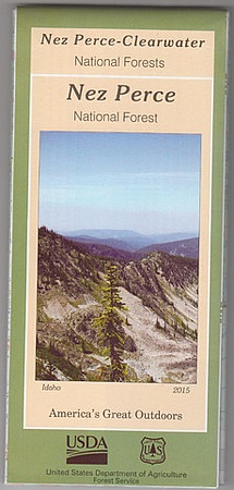
Clearwater National Forest Map - ID
SKU: NFIDCL
$19.95
Forest service map of Clearwater National Forest in Idaho. Folded recreation map showing trailheads, forest service roads, game units, campgrounds, rivers, lakes and many other features. Covers from the Montana border to Washington border including the Dworshak Reservoir, Palouse, Pierce and the Powell, Lochsa and North Fork Ranger Districts.
Two sided / waterproof paper.
Price each
| Photo | Description | SKU | Units | Price | Qty | |
|---|---|---|---|---|---|---|
/1004/images/1108729.jpg)
|
36" x 44"|1:126,720 | NFIDCL |
$19.95
|
|
Out of Stock
|
|
| You Might Also Like: | ||||||
| Photo | Description | SKU | Units | Price | Qty | |
/1004/images/956008.jpg)
|
Bitterroot National Forest Map - North Half - MT 52" x 36"|1:63,360 |
NFMTBIN |
$19.95
|
|
Out of stock
|
|
/1004/images/946608.jpg)
|
Selway Bitterroot Wilderness Map, North Half - ID 36" x 40"|1:63,360 |
NFIDSBN |
$19.95
|
|
Out of stock
|
|
/1004/images/1180610.jpg)
|
Idaho Recreational Atlas by Benchmark 11" x 16" |
NGSBENIDAT |
$26.95
|
|
Add to cart
|
|
Price
$19.95
Quantity
Price
$19.95
Quantity
Price
$19.95
Quantity
Price
$26.95
Quantity
You Previously Viewed:
/1004/site-assets/logo.png)
/1004/site-assets/phone.png)
/1004/site-assets/cart.png)

/1004/site-assets/dateseal.jpg)
/1004/site-assets/creditcards.png)