/1004/images/1177407.jpg)
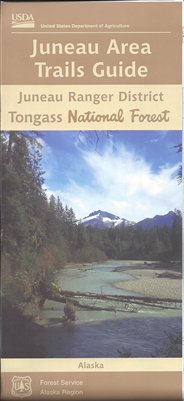
Tongass National Forest Map
SKU: NFAKTONG
$19.95
The Tongass National Forest Map shows trails, amenities, and natural features. Non-topographic, with relief shown by hachures and spot heights. Includes indexes to campgrounds, recreation cabins, and remote shelters, key map, and Chatham area inset. Text and illustrations on reverse, covering this extensive Alaska forest. At 16.8 million acres, the Tongass National Forest is the largest national forest in the United States and the largest remaining temperate rainforest in the world. Nearly 500 miles long with 11,000 miles of coastline, it is as much a seascape as a landscape: a world of islands, waterways and tide-washed beaches along which marine and terrestrial life overlap - an abundance of wild to explore.
Scale - 1" to 12 Miles
Price each
| Photo | Description | SKU | Units | Price | Qty | |
|---|---|---|---|---|---|---|
/1004/images/1177407.jpg)
|
Tongass National Forest Map - AK | NFAKTONG- |
$19.95
|
|
Add to cart
|
/1004/images/1177407.jpg)
Tongass National Forest Map
NFAKTONG-
Price
$19.95
Quantity
You Previously Viewed:
/1004/site-assets/logo.png)
/1004/site-assets/phone.png)
/1004/site-assets/cart.png)


/1004/site-assets/dateseal.jpg)
/1004/site-assets/creditcards.png)