/1004/site-assets/phone.png)
/1004/site-assets/cart.png)
/1004/images/1199871.jpg "Hawaiian Islands Raised Relief Map")
/1004/images/1199870.jpg "Hawaiian Islands Raised Relief Map - Detail")
Hawaii Raised Relief Map
Hawaiian Islands Raised Relief Map: Experience the breathtaking topography of the Aloha State with the Hawaiian Islands Raised Relief Map. This carefully crafted map captures the unique geological features of Hawaii in stunning detail, offering an immersive, tactile representation of the islands' diverse landscapes. Perfect for adventurers, educators, or anyone enchanted by the beauty of Hawaii, this map is both an educational tool and a decorative masterpiece.
Hawaiian Islands Raised Relief Map Peaks & Ranges: The Hawaiian Islands are home to some of the most iconic peaks and mountain ranges in the world. This raised relief map showcases the towering heights of Mauna Kea and Mauna Loa on the Big Island, both of which exceed 13,000 feet and are among the tallest mountains on Earth when measured from their base on the ocean floor. Additionally, the rugged peaks of the West Maui Mountains and the Koolau Range on Oahu are prominently displayed, allowing you to trace the volcanic origins of the islands with your fingertips.
Hawaiian Islands Raised Relief Map Geographic Features: Beyond its impressive peaks, the Hawaiian Islands are rich in geographic diversity, all of which are highlighted on this map. The deep valleys and coastal cliffs of Kauai, often referred to as the "Garden Isle," are beautifully represented, as are the lush rainforests and cascading waterfalls of the Hana region on Maui. The map also marks key rivers, lakes, and towns, providing a comprehensive view of the islands' natural and human-made features. From the fiery craters of Kilauea on the Big Island to the serene beaches of Lanai, this map brings Hawaii's landscape to life.
Hawaiian Islands Raised Relief Map Scale & Design: Crafted from durable molded plastic, this raised relief map is both lightweight and sturdy, designed to last for years. The map is carefully scaled to provide an accurate representation of the Hawaiian Islands' topography, with detailed labeling of rivers, lakes, mountains, and towns. The three-dimensional design offers a unique perspective, making it easy to appreciate the dramatic elevation changes and the natural beauty of Hawaii. Whether displayed in a classroom, office, or home, this map serves as a stunning visual and educational tool, inviting you to explore the islands from a new angle.
** Raised Relief Maps are printed on vinyl and are not intended to roll and/or fold. We ship them in a flat box and pack them with love (i.e. Plenty of bubble wrap!) **
Price each
| Photo | Description | SKU | Units | Price | Qty | |
|---|---|---|---|---|---|---|
/1004/images/1199871.jpg "Hawaiian Islands Raised Relief Map")
|
Hawaiian Islands Raised Relief Map - 36" x 24" | AEPHI3624 |
$86.95
|
|
Add to cart
|
|
| You Might Also Like: | ||||||
| Photo | Description | SKU | Units | Price | Qty | |
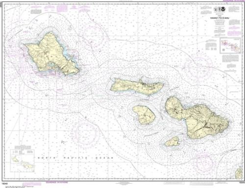
/1004/images/1183791.jpg "Nautical Chart 19004 Hawaiian Islands NOAA")
|
Nautical Chart 19004 - Hawai'ian Islands NOAA Chart 19004 - 1:600,000|47" x 36"|Tyvek |
NOS19004-T |
$42.95
|
|
Add to cart
|
|
/1004/images/1184954.jpg "Hawaii 1912 Antique Map Replica")
|
Antique Map of Hawaii 1912 36" x 28" |
KROLCHI1912 |
$36.95
|
|
Add to cart
|
|
/1004/images/1189976.jpg "Hawaii Wall Map Classic Blue Poster National Geographic")
|
Hawaii Wall Map by National Geographic 35" x 23"|Laminated |
NGSHI-lam |
$29.95
|
|
Add to cart
|
|
/1004/images/1200789.jpg "Hawaiian Islands Nautical 3D Wood Chart")
|
Hawaiian Islands Wood Chart Hawaiian Islands Wood Chart - 43" x 13.5" / Dark Frame |
MINHAWAII |
$299.00
|
|
Add to cart
|
|
/1004/images/1200786.jpg "Hawaiian Islands Nautical 3D Wood Chart - Gray Frame")
|
Hawaiian Islands Wood Chart Hawaiian Islands Wood Chart - 43" x 13.5" / Gray Frame |
MINHAWAIIGF |
$299.00
|
|
Add to cart
|
|
/1004/site-assets/dateseal.jpg "Serving Seattle since 1950")
/1004/site-assets/creditcards.png)