/1004/site-assets/phone.png)
/1004/site-assets/cart.png)
/1004/images/1190295.jpg "NOAA Nautical Chart 18473 Puget Sound Oak Bay to Shilshole Bay")
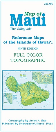
NOAA Chart 18473 - Puget Sound Oak Bay to Shilshole Bay
SKU: NOS18473
$26.95
Nautical Chart #18473 covers from Shilshole Bay in Seattle all the way north to the middle of Whidbey Island including part of Bainbridge Island and the Kitsap Peninsula, the entrance to Hood Canal and Possession Sound.
Up to date chart that has everything you need for navigation.
Price each
| Photo | Description | SKU | Units | Price | Qty | |
|---|---|---|---|---|---|---|
/1004/images/1190295.jpg "NOAA Nautical Chart 18473 Puget Sound Oak Bay to Shilshole Bay")
|
1:40,000|35" x 48" | NOS18473 |
$26.95
|
|
Add to cart
|
|
| You Might Also Like: | ||||||
| Photo | Description | SKU | Units | Price | Qty | |
/1004/images/1190230.jpg "Nautical Chart 18441 Puget Sound Northern NOAA")
|
Nautical Chart 18441 - Puget Sound, Northern 1:80,000|34" x 45"|Paper |
NOS18441- |
$26.95
|
|
Add to cart
|
|
|
|
Nautical Chart 18441 - Puget Sound, Northern 1:80,000|34" x 45"|Tyvek |
NOS18441T |
$42.95
|
|
Add to cart
|
|
/1004/images/1197165.jpg "Puget Sound Depth Map | Nautical Chart 18440 of the Puget Sound")
|
Nautical Chart 18440 - Puget Sound NOAA Chart 18440 - 1:150,000|30" x 42"|Paper |
NOS18440-1 |
$26.95
|
|
Add to cart
|
|
|
|
Nautical Chart 18440 - Puget Sound NOAA Chart 18440 - 1:150,000|15" x 22"|Paper |
NOS18440MINI |
$21.95
|
|
Add to cart
|
|
|
|
Nautical Chart 18440 - Puget Sound NOAA Chart 18440 - 1:150,000|15" x 22"|Mounted |
NOS18440MINICP |
$153.00
|
|
Add to cart
|
|
|
|
Nautical Chart 18440 - Puget Sound NOAA Chart 18440 - 1:150,000|30" x 42"|Tyvek |
NOS18440-T |
$42.95
|
|
Add to cart
|
|
Price
$26.95
Quantity
Price
$26.95
Quantity
Price
$42.95
Quantity
Price
$26.95
Quantity
Price
$21.95
Quantity
Price
$153.00
Quantity
Price
$42.95
Quantity
You Previously Viewed:
/1004/site-assets/dateseal.jpg "Serving Seattle since 1950")
/1004/site-assets/creditcards.png)