NOAA Chart 18431 - Rosario Strait to Cherry Point
SKU: NOS18431
$26.95
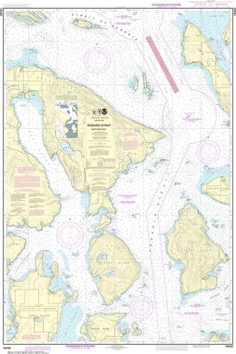
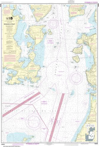
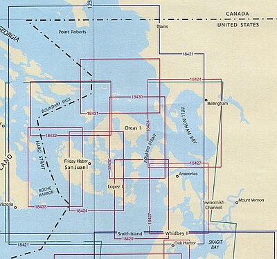
Nautical chart 18431 of Rosario Strait to Cherry Point in the San Juan Islands. Covers the northern tip of Orcas & Lummi Islands and all of Patos Island, Matia Island and the Sucia Islands...plan your trip or decorate your wall with this large nautical chart!
Price each
| Photo | Description | SKU | Units | Price | Qty | |
|---|---|---|---|---|---|---|
/1004/images/1190148.jpg)
|
1:25,000|48" x 34" | NOS18431- |
$26.95
|
|
Add to cart
|
/1004/images/1190148.jpg)
NOAA Chart 18431 - Rosario Strait to Cherry Point
1:25,000|48" x 34"
1:25,000|48" x 34"
NOS18431-
Price
$26.95
Quantity
You Previously Viewed:
/1004/site-assets/logo.png)
/1004/site-assets/phone.png)
/1004/site-assets/cart.png)
/1004/images/1190148.jpg)


/1004/site-assets/dateseal.jpg)
/1004/site-assets/creditcards.png)