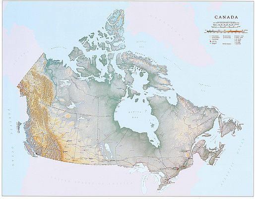
Canada Watercolor Map Print l Elizabeth Person
SKU: EPACANADA
$39.95
Created by local artist Elizabeth Person, this beautifully crafted watercolor map of Canada makes a great gift.
This map highlights Canada's provinces, territories, national parks, and major lakes and rivers. Major cities, including Toronto, Vancouver, Montreal, Calgary, and provincial capitals, are noted.
Originally hand drawn and delicate shading of color to reflect the topography and climate of the land was added!
Printed on archival high quality matte paper.
Note: The Watermark is not included on your print.
Articles
Price each
| Photo | Description | SKU | Units | Price | Qty | |
|---|---|---|---|---|---|---|
/1004/images/1202237.jpg)
|
Canada Watercolor Map - 14" x 11" | EPAMAPCANADA |
$39.95
|
|
Add to cart
|
|
| You Might Also Like: | ||||||
| Photo | Description | SKU | Units | Price | Qty | |
/1004/images/1189142.jpg)
|
Canada Wall Map by National Geographic 38" x 32" |
NGSCAN |
$19.95
|
|
Add to cart
|
|
/1004/images/1180771.jpg)
|
Canada Type Map - Slate 27 1/2" x 19 3/4"|Paper |
BANCANS |
$65.00
|
|
Add to cart
|
|
/1004/images/1192893.jpg)
|
Antique Map of Eastern Canada & U.S. in 1688 36" x 24" |
KROLCCAN1688 |
$35.95
|
|
Add to cart
|
|
/1004/images/1201615.jpg)
|
Canada Raised Relief Map Canada Raised Relief Map - 31" x 25" |
AEP491 |
$86.95
|
|
Add to cart
|
|
/1004/images/1188375.jpg)
|
Canada Political Wall Map by Maps International 39" x 47"|Laminated |
RWPCANWL |
$29.95
|
|
Add to cart
|
|
Price
$39.95
Quantity
Price
$19.95
Quantity
Price
$65.00
Quantity
Price
$35.95
Quantity
Price
$86.95
Quantity
Price
$29.95
Quantity
You Previously Viewed:
/1004/site-assets/logo.png)
/1004/site-assets/phone.png)
/1004/site-assets/cart.png)
/1004/images/1202237.jpg)
/1004/images/1202234.jpg)
/1004/images/1202235.jpg)
/1004/images/1202236.jpg)

/1004/site-assets/dateseal.jpg)
/1004/site-assets/creditcards.png)