Antique Map of the Pacific Ocean 1589
SKU: HISPO
$19.95
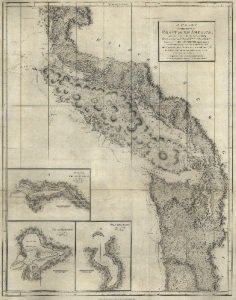
Ortelius was the first to produce a printed map devoted entirely to the Pacific Ocean, and it was the earliest to name both North and South America.
Its beauty matches its cartographic importance, for it is distinctively colored, features two elaborate cartouches, and includes a handsome vignette of Magellan's ship sailing westward on the first voyage around the world.
Printed by Historic Urban Plans.
Articles
Price each
| Photo | Description | SKU | Units | Price | Qty | |
|---|---|---|---|---|---|---|
/1004/images/1186074.jpg)
|
19.25" x 13.25" / With border~ 22.75" x 17.75" | HISPO |
$19.95
|
|
Add to cart
|
|
| You Might Also Like: | ||||||
| Photo | Description | SKU | Units | Price | Qty | |
/1004/images/1184793.jpg)
|
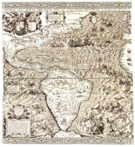
Antique Map of the Americas 1562 34" x 36" |
KROLCAM1562 |
$42.95
|
|
Add to cart
|
|
/1004/images/1186086.jpg)
|
Antique Map of North America 1650 18.5" x 15.5" / With border~ 23" x 17.5" |
HISNA |
$19.95
|
|
Add to cart
|
|
/1004/images/1185243.jpg)
|
1565 World Map Antique Reproduction 22"x36" |
KROLCW1565 |
$39.95
|
|
Add to cart
|
|
Price
$19.95
Quantity
/1004/images/1184793.jpg)
KROLCAM1562
Price
$42.95
Quantity
Price
$19.95
Quantity
/1004/images/1185243.jpg)
KROLCW1565
Price
$39.95
Quantity
You Previously Viewed:
/1004/site-assets/logo.png)
/1004/site-assets/phone.png)
/1004/site-assets/cart.png)
/1004/images/1186074.jpg)

/1004/site-assets/dateseal.jpg)
/1004/site-assets/creditcards.png)