/1004/images/1193113.jpg)
Washington State Map l MapArt
SKU: HEI12071
$5.95
Washington State Road Map by MapArt shows the state in it's entirety on one side, and inset maps for Mount Rainier, the Olympic National Park, plus a full index to towns and cities on the reverse side.
The map features hill shaded terrain, cities, roads, rail, ferries, airports and various points of interest including National Forests, Wildlife Refuges, Marine Sanctuaries and Indian Reservations.
Price each
| Photo | Description | SKU | Units | Price | Qty | |
|---|---|---|---|---|---|---|
/1004/images/1193113.jpg)
|
39" x 27"|1: 600,000 | HEI12071-00 |
$5.95
|
|
Add to cart
|
|
| You Might Also Like: | ||||||
| Photo | Description | SKU | Units | Price | Qty | |
/1004/images/1198824.jpg)
|
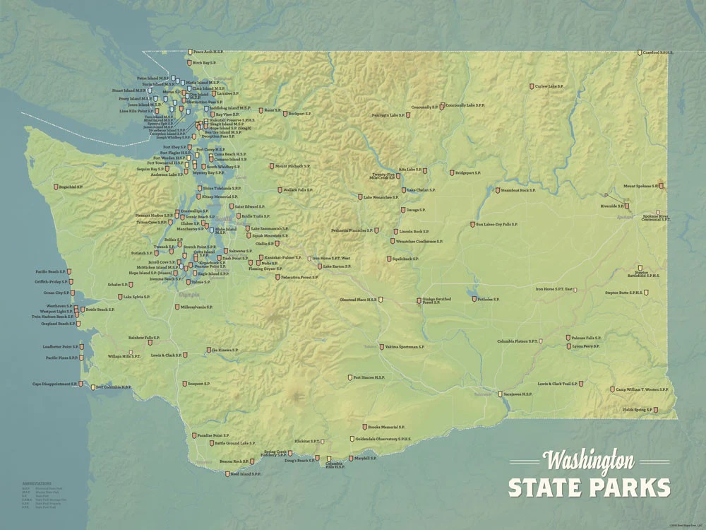
Washington, Oregon & the Pacific Northwest Travel Guide Book Washington, Oregon & the Pacific Northwest Travel Guide Book |
LPPWashOrPacNW |
$25.99
|
|
Add to cart
|
|
/1004/images/1190034.jpg)
|
Washington State Wall Map by National Geographic 31" x 41"|Laminated |
NGSWAL |
$35.00
|
|
Add to cart
|
|
/1004/images/1190034.jpg)
|
Washington State Wall Map by National Geographic 31" x 41"|Paper |
NGSWAP |
$24.95
|
|
Add to cart
|
|
/1004/images/1201476.jpg)
|
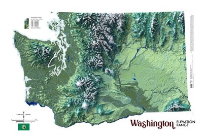
Washington State Raised Relief Map Washington Raised Relief Map - 22" x 17" |
AEPWA2217 |
$76.95
|
|
Add to cart
|
|
/1004/images/737584.jpg)
|
Washington State Large Print Road Map 27" x 39" |
GMJWALP |
$5.95
|
|
Add to cart
|
|
/1004/images/1180561.jpg)
|
Washington Recreation Map 26" x 38"|1:650K |
NGSBENWAREC |
$9.95
|
|
Add to cart
|
|
Price
$5.95
Quantity
/1004/images/1198824.jpg)
LPPWashOrPacNW
Price
$25.99
Quantity
Price
$35.00
Quantity
Price
$24.95
Quantity
Price
$76.95
Quantity
Price
$5.95
Quantity
/1004/images/1180561.jpg)
NGSBENWAREC
Price
$9.95
Quantity
You Previously Viewed:
/1004/site-assets/logo.png)
/1004/site-assets/phone.png)
/1004/site-assets/cart.png)
/1004/site-assets/dateseal.jpg)
/1004/site-assets/creditcards.png)