Nautical Chart 17360 - Etolin Island to Midway Islands, Alaska
SKU: NOS17360
$26.95
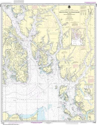
Nautical chart featuring the waterways around the cities of Petersburg and Wrangell, Alaska - also covers Kuiu Island, Kupreanof Island, and Prince of Wales Island. Official NOAA chart intended for navigation.
Available in paper or waterproof Tyvek.
Price each
| Photo | Description | SKU | Units | Price | Qty | |
|---|---|---|---|---|---|---|
/1004/images/1183591.jpg)
|
1:217,828|36" x 47"|Paper | NOS17360 |
$26.95
|
|
Add to cart
|
|
/1004/images/1183591.jpg)
|
1:217,828|36" x 47"|Tyvek | NOS17360T |
$42.95
|
|
Add to cart
|
|
| You Might Also Like: | ||||||
| Photo | Description | SKU | Units | Price | Qty | |
/1004/images/1181516.jpg)
|
Inside Passage Wall Map - North half 24" x 60"|Paper, folded |
FEPIPNF |
$24.95
|
|
Add to cart
|
|
/1004/images/1181516.jpg)
|
Inside Passage Wall Map - North half 24" x 60"|Laminated, rolled |
FEPIPNLAM |
$44.95
|
|
Add to cart
|
|
/1004/images/1183589.jpg)
|
Nautical Chart 17400 - Dixon Entrance 1:229,376|35" x 48" |
NOS17400 |
$26.95
|
|
Add to cart
|
|
/1004/images/1183587.jpg)
|
Nautical Chart 17385 - Ernest Sound to Eastern Passage, Zimovia Strait 1:80,000|33" x 46"|Paper |
NOS17385 |
$26.95
|
|
Add to cart
|
|
/1004/images/1183587.jpg)
|
Nautical Chart 17385 - Ernest Sound to Eastern Passage, Zimovia Strait 1:80,000|33" x 46"|Tyvek |
NOS17385T |
$42.95
|
|
Add to cart
|
|
/1004/images/1183590.jpg)
|
Nautical Chart 17320 - Coronation Island to Lisianski Strait, Alaska 1:217,828|36" x 46"|Paper |
NOS17320 |
$26.95
|
|
Add to cart
|
|
/1004/images/1183590.jpg)
|
Nautical Chart 17320 - Coronation Island to Lisianski Strait, Alaska 1:217,828|36" x 46"|Tyvek |
NOS17320T |
$42.95
|
|
Add to cart
|
|
Price
$26.95
Quantity
Price
$42.95
Quantity
Price
$24.95
Quantity
Price
$44.95
Quantity
Price
$26.95
Quantity
/1004/images/1183587.jpg)
Price
$26.95
Quantity
/1004/images/1183587.jpg)
Price
$42.95
Quantity
/1004/images/1183590.jpg)
Price
$26.95
Quantity
/1004/images/1183590.jpg)
Price
$42.95
Quantity
You Previously Viewed:
/1004/site-assets/logo.png)
/1004/site-assets/phone.png)
/1004/site-assets/cart.png)
/1004/images/1183591.jpg)

/1004/site-assets/dateseal.jpg)
/1004/site-assets/creditcards.png)