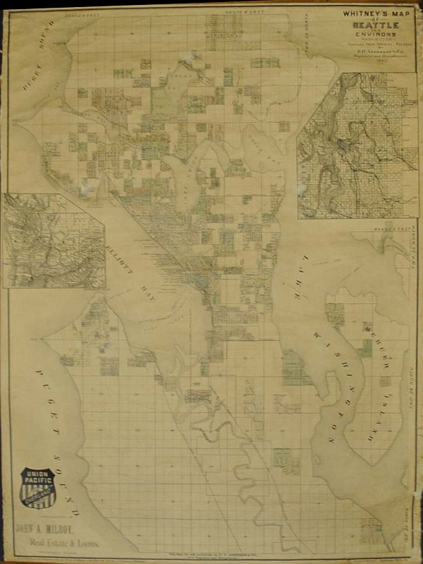
Puget Sound Antique Map 1908
SKU: KROHISPS1908
$2,795.00
A Puget Sound Antique Map from 1908 compiled by D. H. White, an original lithograph print mounted on cloth. This Puget Sound Antique Map covers from Port Townsend and the Strait of Juan de Fuca on the north, south to include the early city of Olympia and covers Lake Cushman on the west, extending east to include the town of Monroe.
This Puget Sound Antique Map sections out and labels all the section, township, and range numbers; includes county boundaries and also extensively labels and marks all the bay and inlet names for the Puget Sound waterways.
Articles
Price each
| Photo | Description | SKU | Units | Price | Qty | |
|---|---|---|---|---|---|---|
/1004/images/1197079.jpg)
|
22" x 34" | KROHISPS1908-Original |
$2,795.00
|
|
Add to cart
|
/1004/images/1197079.jpg)
Puget Sound Antique Map 1908
22" x 34"
22" x 34"
KROHISPS1908-Original
Price
$2,795.00
Quantity
You Previously Viewed:
/1004/site-assets/logo.png)
/1004/site-assets/phone.png)
/1004/site-assets/cart.png)
/1004/images/1197079.jpg)
/1004/images/1197080.jpg)


/1004/site-assets/dateseal.jpg)
/1004/site-assets/creditcards.png)