Mussio
West Kootenay Backroads Map
West Kootenay Backroads Map
Couldn't load pickup availability
Share
In BC's stunning southern interior, west of the Kootenay River, lies the West Kootenay region.
Pristine mountain streams wind through deep valleys, while deer roam beside snow-capped peaks.
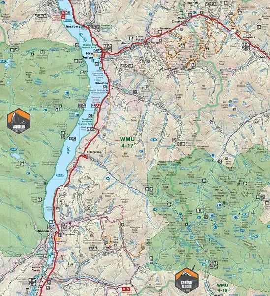
This updated Recreation Map of the West Kootenay region now covers over 20,000 km², expanding north to Golden and Banff National Park, west to Grand Forks, and south to Kaslo, Nelson, and Trail.
Whether hiking, camping, fishing, or ATVing, it offers comprehensive coverage.
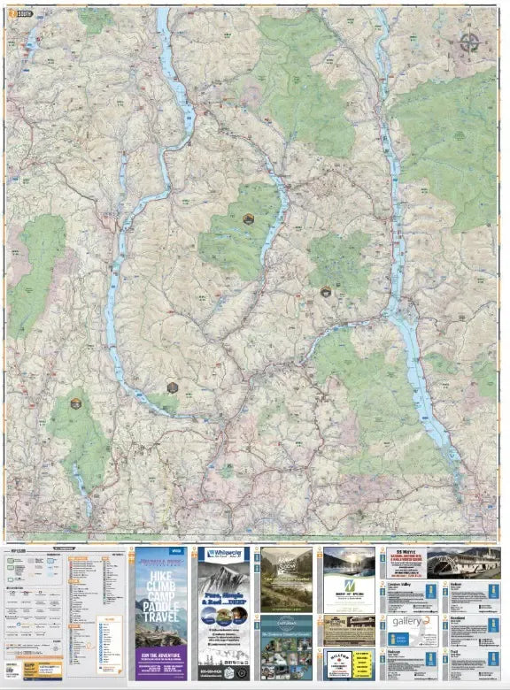
Printed on durable, waterproof paper, this dual-sided 34" x 46.25" map boasts industry-leading detail, relief shading, and color-coded parks.
Discover countless points of interest, trails, campsites, and more, including private land boundaries and backcountry amenities.
It's your ultimate guide to the West Kootenays' outdoor wonders!
West Kootenay Recreation Waterproof Map by Backroads at a Glance:
- Printed on durable waterproof, tear-resistant material
- Industry leading cartographic detail and state-of-the-art relief shading
- Numerous updates and expansions from the last edition makes this the most up-to-date topographic map available for the West Kootenays
- Large-scale 34 x 46.25 map is easy to read and contains 20,000 + km of new land
- Addition of private leased land to keep you in bounds while exploring the wilderness by foot, bicycle, ATV or truck