International Travel Maps
Sudan Travel Map
Sudan Travel Map
Couldn't load pickup availability
Share
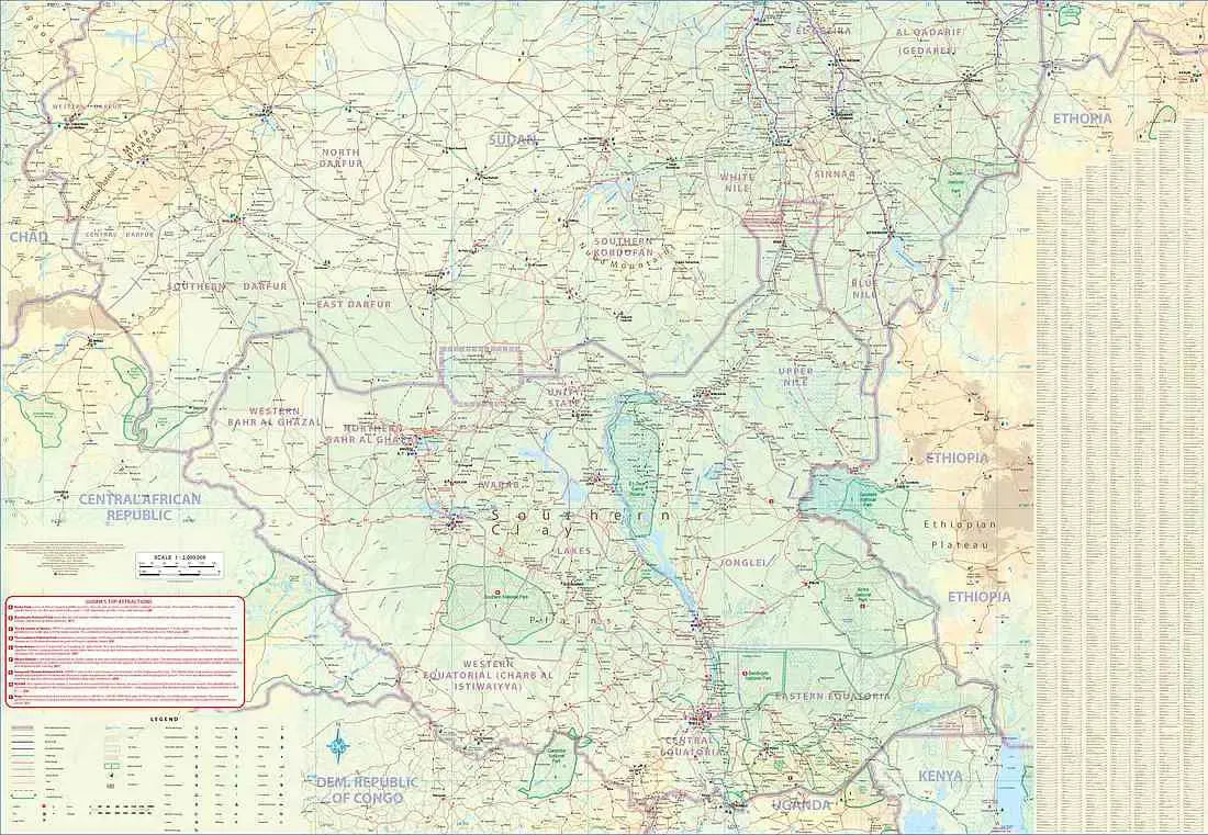
Use the Sudan & South Sudan Travel Map to discover the vast and diverse landscapes of these countries in NE Africa. The Sudan & South Sudan Travel Map is a comprehensive folded reference tool that unfolds to a generous 27" x 39" size. Perfect for adventure seekers and curious travelers, this map is an essential companion for navigating the rich history and natural wonders of these two nations.
The Sudan & South Sudan Travel Map features detailed information on roads, rivers, lakes, national parks, airports, points of interest, highways, and more. Immerse yourself in the unique culture and heritage of Sudan, where you can explore the bustling city of Khartoum, a meeting point of the Blue and White Nile rivers. Two prominent landmarks, the Sudan National Museum and the Presidential Palace, add historical depth to this vibrant capital.
Using the Sudan & South Sudan Travel Map, dive into Sudan's geographical wonders, from the vast Sahara Desert to the Red Sea coastline and the Ethiopian Highlands. Uncover the country's ancient history, where the Kingdom of Kush once thrived and left behind the remarkable pyramids of Meroe. The Sudan & South Sudan Travel Map is your passport to an enriching journey through these nations, revealing the extraordinary landscapes and historical tapestry that define them.


