WoodChart
San Juan Islands Wood Chart
San Juan Islands Wood Chart
Couldn't load pickup availability
Share
San Juan Islands 3D Nautical Wood Chart Details:
- Made of high-quality birch
- Solid Wood Frame
- Acrylic Glass Protection
- Laser Cut Depth
- Engraved Place Names & Locations
- Arrives Ready to Hang
31" x 24.5"
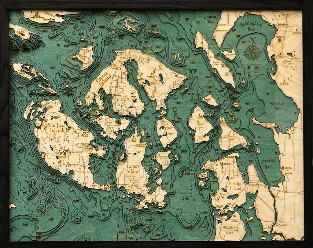
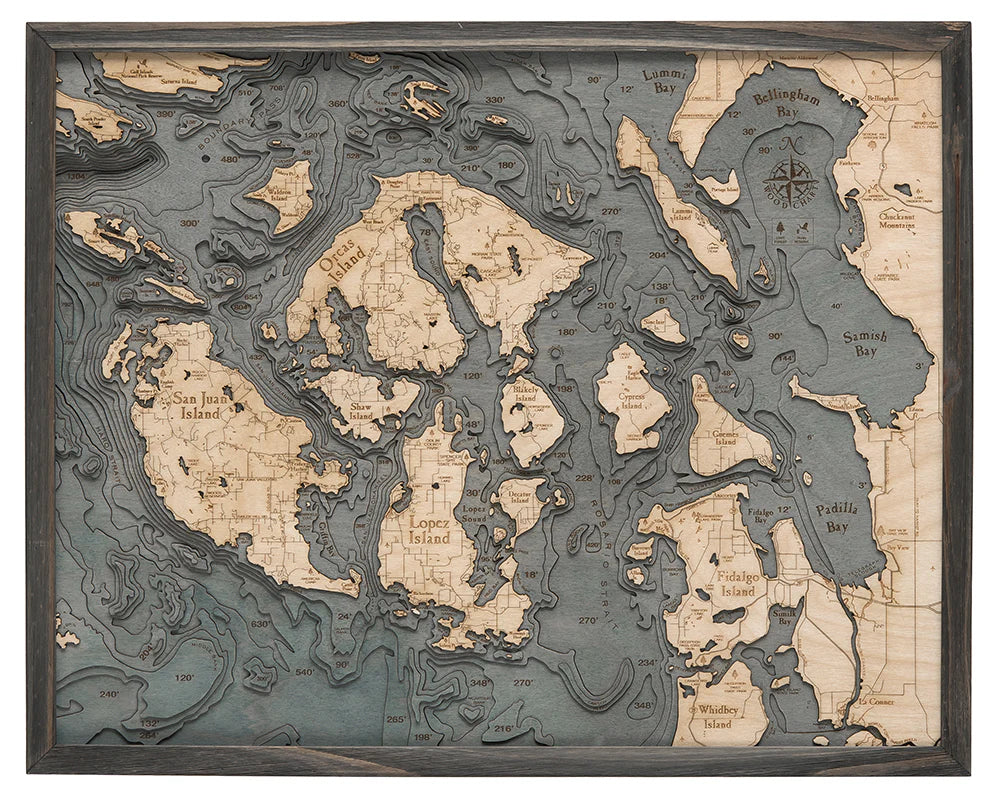
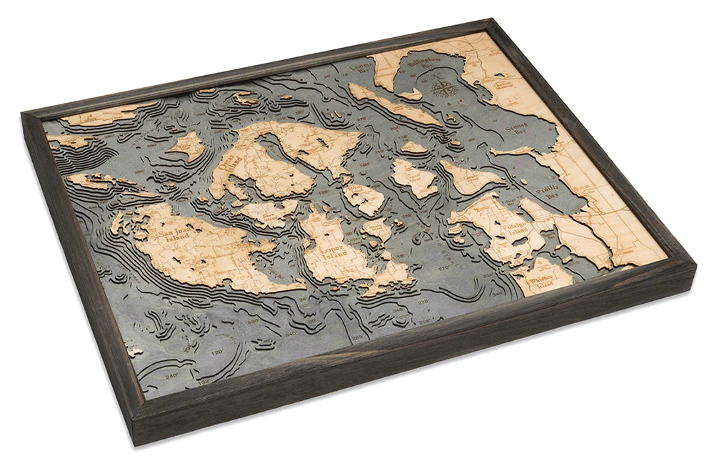
San Juan Islands Wood Chart: Explore the stunning beauty and rich history of the Pacific Northwest with your own San Juan Islands Wood Chart. This meticulously crafted 3D nautical map captures the intricate waterways and rugged coastline of the San Juan Islands, located in the Salish Sea between Washington State and Vancouver Island, Canada. The archipelago is renowned for its breathtaking landscapes, diverse wildlife, and storied past, making it a beloved destination for adventurers and nature enthusiasts alike. Each element of this chart is designed to celebrate the unique geography and history of the region, from its deep bays to its picturesque islands.
San Juan Islands Wood Chart points of interest include: San Juan Island, known for its charming towns and historical sites like the San Juan Island National Historical Park. Orcas Island, the largest of the islands, offers stunning vistas from Mount Constitution, the highest point in the San Juans. Lopez Island, a cyclist's paradise, is famed for its rolling hills and tranquil scenery. The chart also highlights Whidbey Island, the longest island in the contiguous United States, and Bellingham Bay, a bustling hub of maritime activity. Lummi Bay, Boundary Pass, Padilla Bay, Samish Bay, and Fidalgo Island are also intricately depicted, each contributing to the area's rich maritime heritage.
San Juan Islands Nautical Wood Chart color options: Choose between a Dark Brown Frame with Greenish Blue Water, which offers a classic and natural aesthetic, or a Rustic Grey Frame with Greyish Blue Water, perfect for a more contemporary, coastal look.