Summit Terragraphics
Portland Pacific Northwest Area Raised Relief Map
Portland Pacific Northwest Area Raised Relief Map
Couldn't load pickup availability
Share
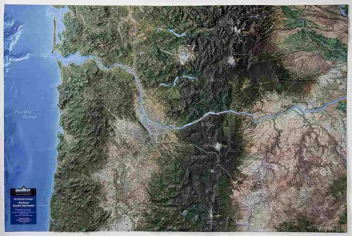
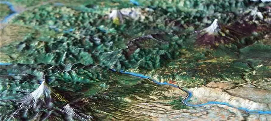
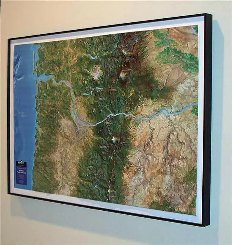
Portland Pacific Northwest Area Raised Relief Map: Explore the stunning landscapes of the Portland Pacific Northwest Area with this Raised Relief Map. Crafted from molded plastic, this 3D wall map captures the region’s diverse terrain, from the rugged Pacific coastline to the lush Columbia River Valley and the high volcanic peaks of the Cascade Range. With a high-resolution satellite image overlaid on the precisely molded 3D terrain, this map provides an immersive bird’s-eye view of the Portland area, making it perfect for hikers, climbers, and outdoor enthusiasts alike. Available with an optional sleek black metal frame, it’s an eye-catching addition to any room.
Portland Pacific Northwest Area Raised Relief Map Peaks & Ranges: This raised relief map highlights some of the most iconic peaks and ranges of the Pacific Northwest. Mount Hood, Oregon’s tallest peak, stands prominently to the east of Portland, showcasing its snow-capped summit and volcanic origins. Other notable mountains, such as Mount St. Helens and Mount Adams, are also visible, illustrating the powerful volcanic activity that shaped the region. The map accurately represents the Cascade Range, a dramatic volcanic arc that runs north-south through the area, defining the skyline and providing a stunning backdrop to the region’s lush forests and winding rivers.
Portland Pacific Northwest Area Raised Relief Map Geographic Features: In addition to the peaks and ranges, this map features other fascinating geographic landmarks of the Portland area. The Columbia River, the largest river in the Pacific Northwest, winds its way through the landscape, carving out the scenic Columbia River Gorge. The map also showcases the Pacific coastline’s rugged cliffs and sandy beaches, the fertile Willamette Valley, and the vast, forested areas that make the Pacific Northwest famous for its natural beauty. Key towns, the Pacific Crest Trail, roads, and forested areas are clearly marked for easy navigation and exploration.
Portland Pacific Northwest Area Raised Relief Map Scale & Design: This map is meticulously crafted at a scale of 1:500,000, offering a detailed yet comprehensive view of the Portland area. Measuring 31.5" x 22", the raised relief design provides a tactile experience that brings the region’s diverse terrain to life. Made of durable molded plastic, it’s both lightweight and sturdy, perfect for display on a wall. The optional black metal frame adds a modern touch, enhancing the map's visual appeal and making it a stylish centerpiece in any space.
** Raised Relief Maps are printed on vinyl and are not intended to roll and/or fold. We ship them in a flat box and pack them with love (i.e. Plenty of bubble wrap!) **
