International Travel Maps
Norway Travel Map
Norway Travel Map
Couldn't load pickup availability
Share
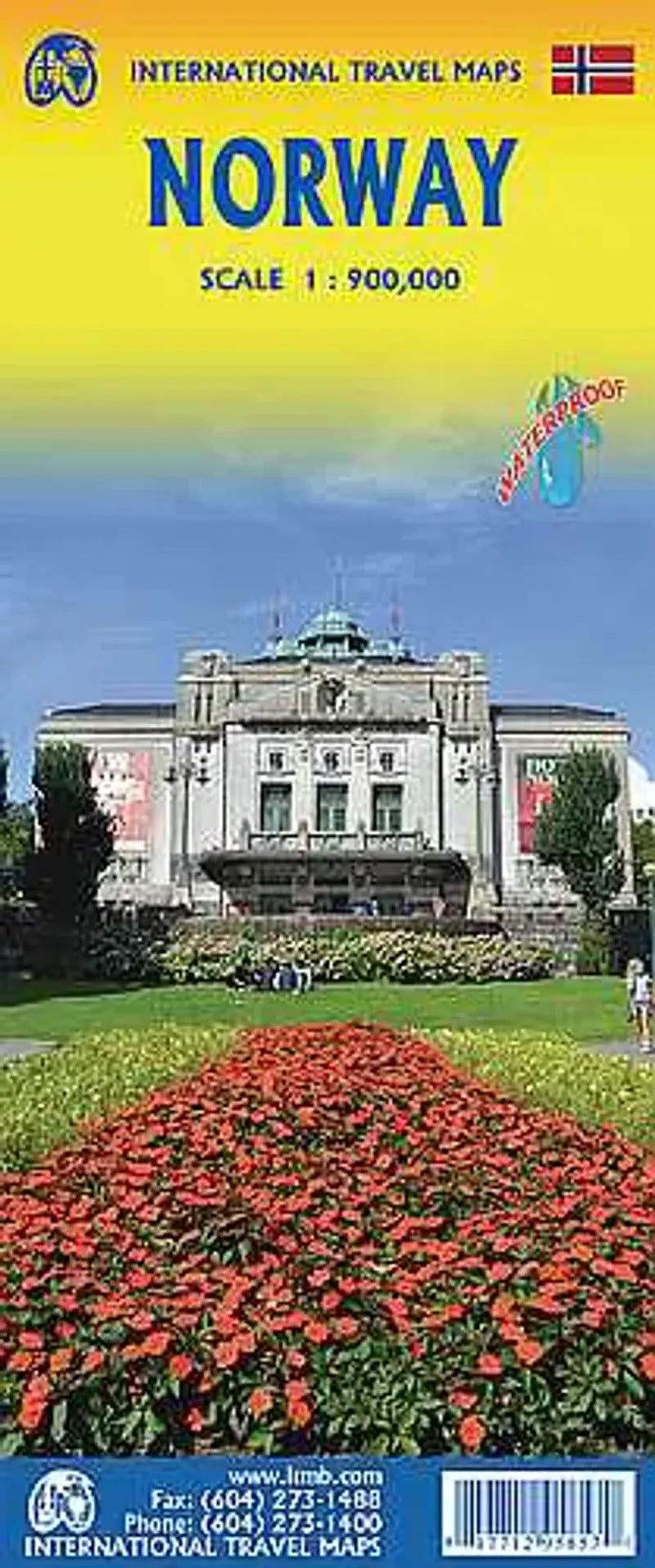
Norway Travel & Reference Map ITMB: Norway’s breathtaking landscapes and extensive travel network come to life with ITMB’s double-sided, folded Norway Travel & Reference Map at a scale of 1:900,000. Designed for both travelers and adventurers, this detailed map highlights the country’s vast beauty, from the towering peaks of the Lofoten Islands to the stunning depths of Geirangerfjord and the Arctic wonder of Nordkapp.
Given Norway’s size and varied terrain, the map is thoughtfully divided into north and south sections for ease of use. It features motorways, main highways, and railway lines, ensuring seamless navigation whether exploring car, train, or Norway’s extensive coastal ferry network. Portions of Sweden, Finland, and even a small section of Russia are included for regional context. While border crossings within Scandinavia are unnecessary due to EU agreements, those leading into Russia are clearly marked.
Travelers will find an extensive legend detailing roads classification, rivers, lakes, national parks, airports, and major points of interest. A list of Top Attractions offers inspiration, making it easy to plan a journey through Norway’s most remarkable sites. With a map size of 27" x 39", it is large enough to provide exceptional detail while remaining compact when folded. Whether admiring fjords from a coastal ferry, driving along scenic highways, or embarking on a rail journey, this map is an essential companion for discovering Norway’s dramatic landscapes and charming cities with confidence.


