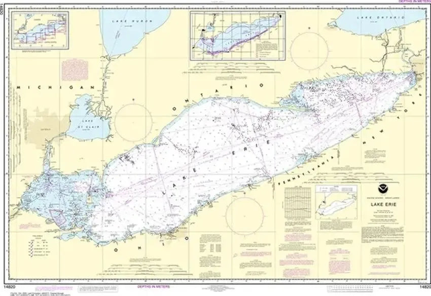
Nautical Chart 14820 - Lake Erie
SKU: NOS14820
$26.95
Here you'll find Nautical Chart 14820 - a Lake Erie Depth Chart! Click here to use NOAA's online viewer to preview Nautical Chart 14820.
Lake Erie, one of the majestic Great Lakes, captivates with its vast expanse and rich maritime heritage. Nestled between the United States and Canada, this freshwater gem is not only a natural wonder but a vital region for maritime activity.
Nautical charts, the backbone of marine navigation, play an indispensable role in navigating Lake Erie's waters. These charts provide a comprehensive guide, detailing water depths, potential obstructions, buoy locations, and aids to navigation, ensuring safe and efficient passage for vessels of all sizes.
For commercial ships, including those vital to America's commerce, chart carriage is mandatory, a testament to the critical role Lake Erie plays in the transportation of goods. These charts extend their influence to Navy and Coast Guard vessels, fishing boats, passenger vessels, and recreational boaters, becoming an essential tool for exploring and navigating the lake's diverse landscapes. Lake Erie's allure lies not only in its natural beauty but also in the seamless marriage of tradition and modernity reflected in the reliance on nautical charts for the safe traversal of its waters.
Our Nautical Charts are available in either paper or tyvek (waterproof, tear-resistant paper).
Price each
Price
$26.95
Quantity
Price
$42.95
Quantity
Price
$194.00
Quantity
Price
$194.00
Quantity
Price
$26.95
Quantity
Price
$42.95
Quantity
Price
$26.95
Quantity
Price
$21.95
Quantity
Price
$153.00
Quantity
Price
$42.95
Quantity
Price
$332.00
Quantity
Price
$332.00
Quantity
You Previously Viewed: