
The MapShop
Middle East Raised Relief Map
Middle East Raised Relief Map
Couldn't load pickup availability
Share
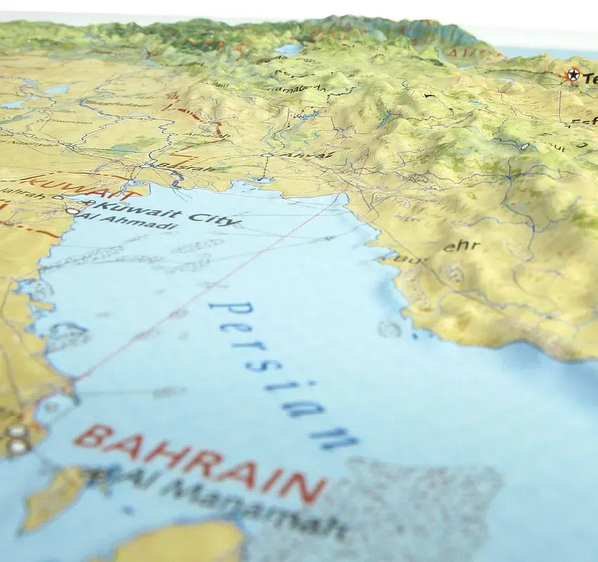
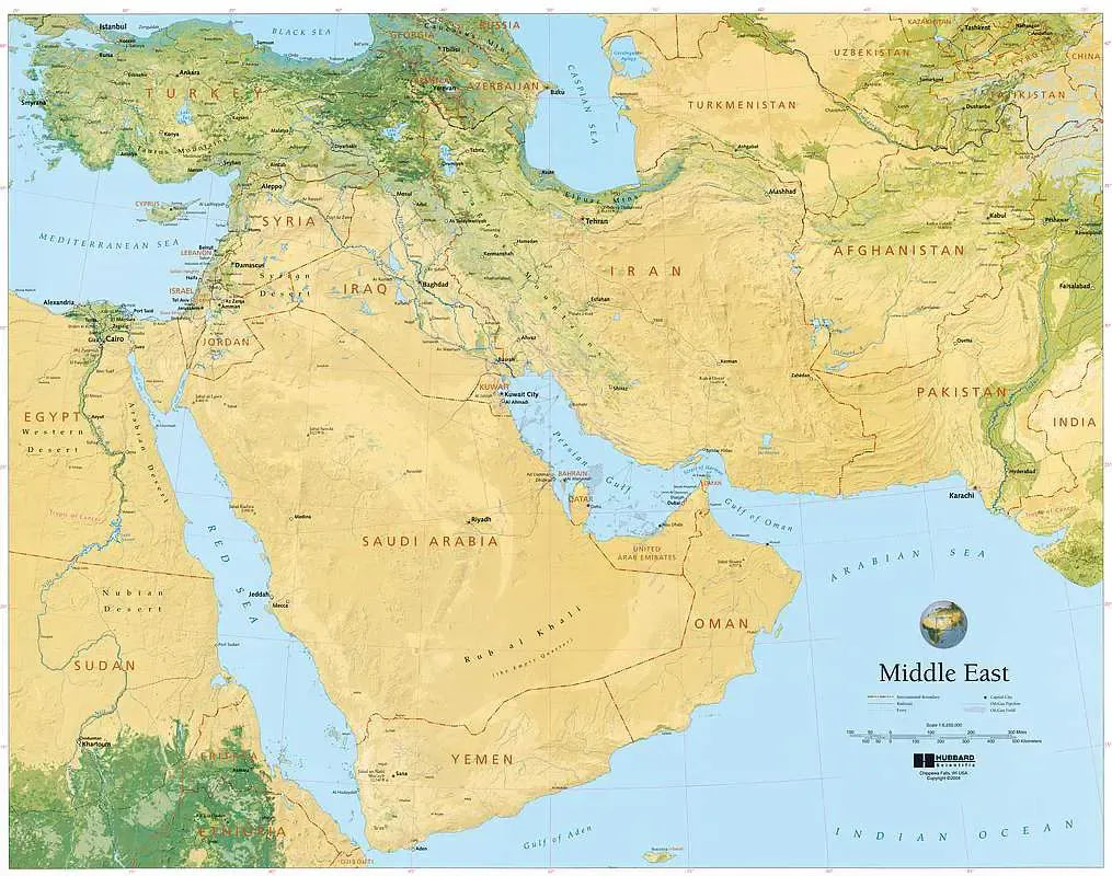
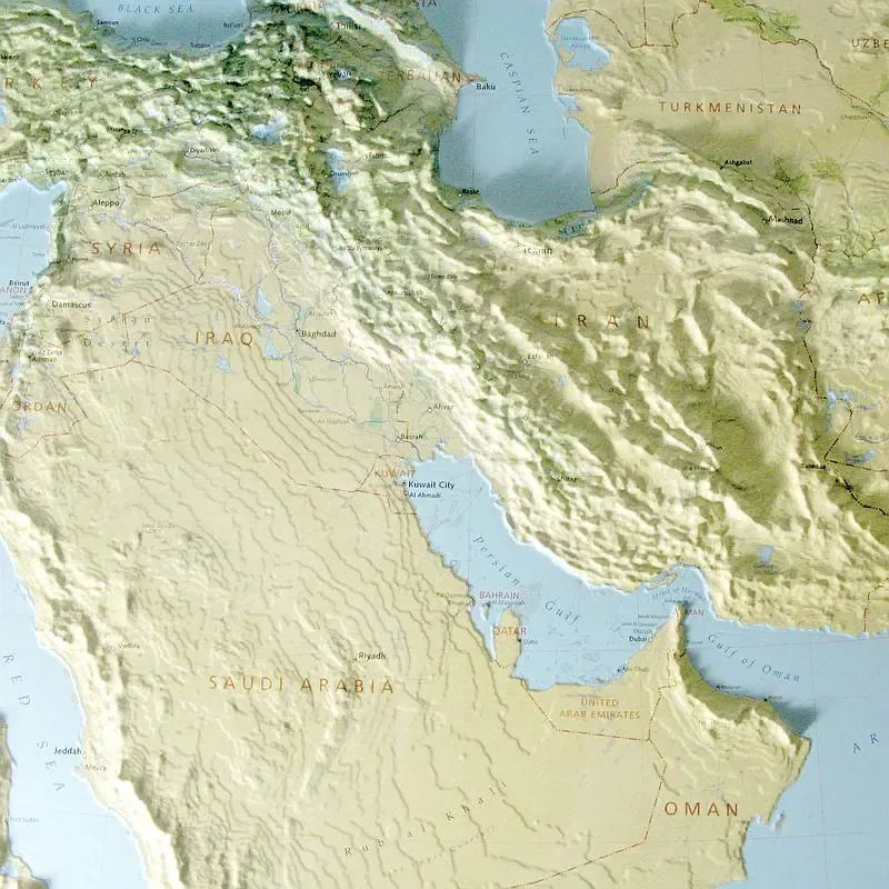
Middle East Raised Relief Map: Discover the diverse landscapes of the Middle East with this stunning Raised Relief Map. Crafted from molded plastic, this 32" x 25" map offers a detailed and tactile view of the region, stretching from Turkey in the north to Yemen in the south, and from Egypt in the west to Pakistan in the east. With a scale of 1:6,250,000, it provides an informative and engaging way to explore the geographic and topographic features of this historically and culturally rich area.
Middle East Raised Relief Map Peaks & Ranges: The map highlights the towering peaks and dramatic mountain ranges that define the Middle East. In Turkey, you'll find the formidable Mount Ararat, which stands at 16,854 feet and is a key feature of the region's landscape. Iran is home to the Alborz Range, including the imposing Mount Damavand, the highest peak in the Middle East at 18,406 feet. Moving to Pakistan, the map showcases the Karakoram Range with its crown jewel, K2, the second-highest mountain in the world, reaching 28,251 feet.
Middle East Raised Relief Map Geographic Features: Beyond its peaks, the map provides a comprehensive view of significant geographic features across the region. It labels major lakes, including the vast Lake Van in Turkey and the Caspian Sea, the largest enclosed inland body of water. Key cities and towns are also marked, such as Istanbul, Tehran, and Karachi, facilitating easy identification of prominent urban centers. The map’s detailed elevation relief helps visualize the region’s diverse terrain, from the arid deserts of Saudi Arabia to the fertile crescent in Iraq.
** Raised Relief Maps are printed on vinyl and are not intended to roll and/or fold. We ship them in a flat box and pack them with love (i.e. Plenty of bubble wrap!) **