NaN
/
of
-Infinity
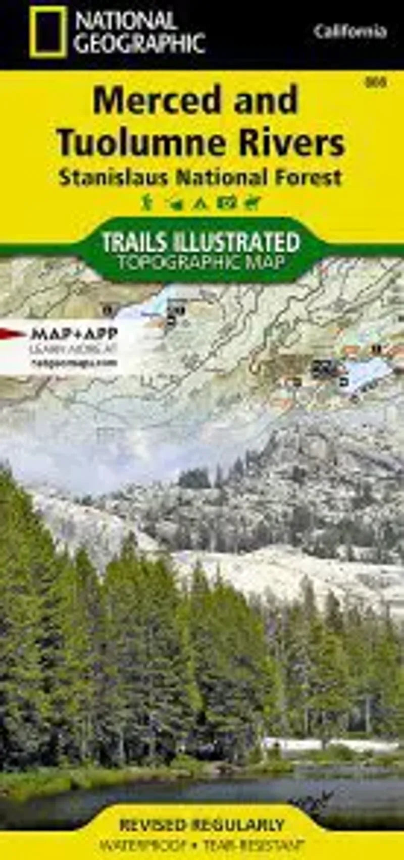
National Geographic
Merced & Tuolumne Rivers Map
Merced & Tuolumne Rivers Map
Regular price
$14.95 USD
Regular price
Sale price
$14.95 USD
Unit price
/
per
Couldn't load pickup availability
Share
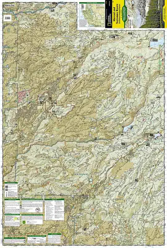
National Geographic Map 808 Merced & Tuolumne Rivers is part of the Stanislaus National Forest of the western Sierra Nevada Range in California. The Merced River flows along State Highway 140 leaving the highway at Briceburg having a short stint of roadlessness before reaching Highway 49 at Bagby. The portion of the Tuolumne River shown on the map is from near the town of Mather at the Hetch Hetchy entrance and down past the Groveland Forest Station and the river junctin with the Clavey River. Map covers the town of Arnold, Spicer Meadow Reservoir, Beardsley Lake, Mi-Wuk Village, down to Mariposa.
- 1" = 1 mile / 1 cm = .6 kilometes
- Contour Interval 50 feet
- Waterproof