Beacon Guidebooks
Backcountry Skiing Stevens Pass Map
Backcountry Skiing Stevens Pass Map
Couldn't load pickup availability
Share
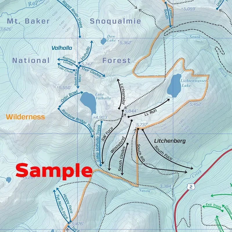
Endless acres of bowls, faces, glades, and chutes have drawn dedicated backcountry skiers and splitboarders to this powder paradise for decades. A sense of adventure still reigns in this land of cold-smoke face shots and devoted locals. With runs that span a range of avalanche terrain exposure and difficulty, you’re sure to find the right tour for your group.
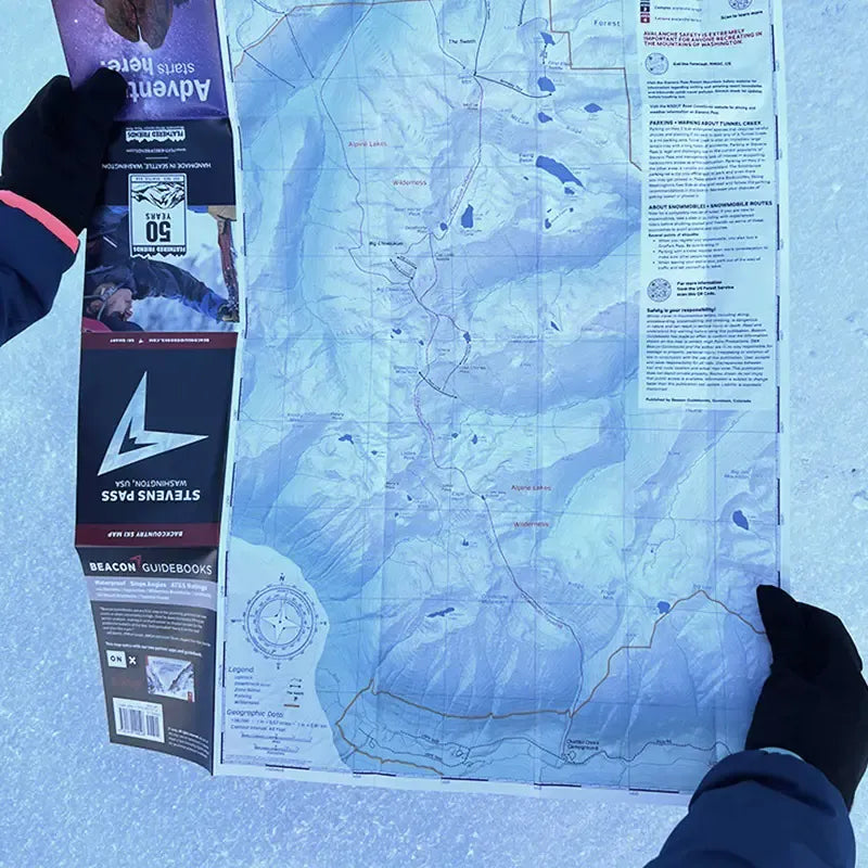
This 18” x 22” waterproof, foldable topo map includes the following zones: Union + Jove, Valhalla, Lichtenberg, Solstice, Rock Mountain, Tye, Skyline, Moonlight, Grace, Gemini, Highland, Yodelin + Backside, Lanham, Jim Hill, Arrowhead, The Swath, Big Chiwaukum.
Please Note: Typically Beacon Guidebooks' Backcountry Skiing Guides have an accompanying Spiral Atlas with their maps. The Stevens Pass Map does not at this time.